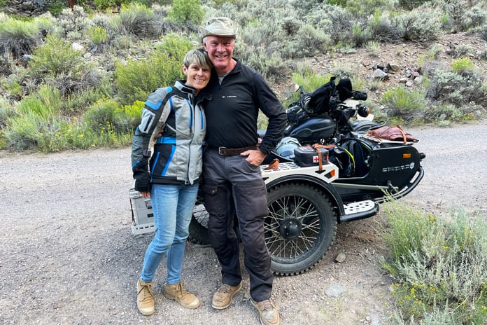
Featured Guests:
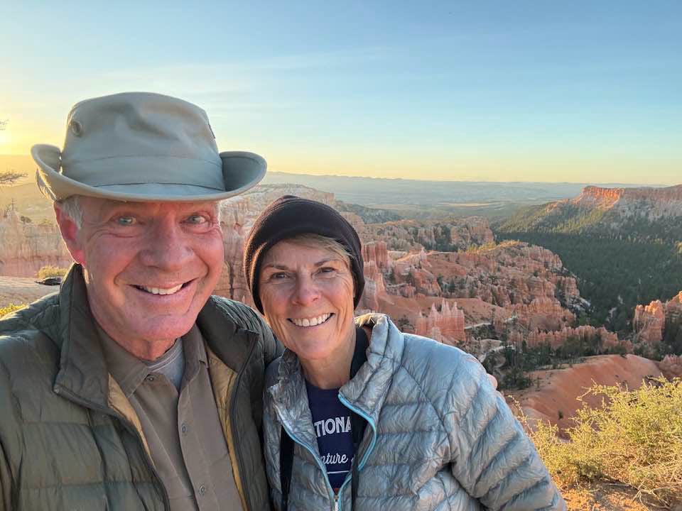
Bill & Susan Dragoo
accomplished motojournalists and adventure travelers.
Team Dragoo
Bill and Susan Dragoo are accomplished motojournalists and adventure travelers, with two decades of writing and exploring the world on two wheels and four. Bill and Susan have embraced backcountry travel in their purpose-built Gen V 4 Runner and their 1976 Toyota FJ 40 Land Cruiser. They enjoy overlapping their interests into a delightful stew of exploration and activities together, sharing these experiences with their readers.
See their websites for more: billdragoo.com and susandragoo.com.
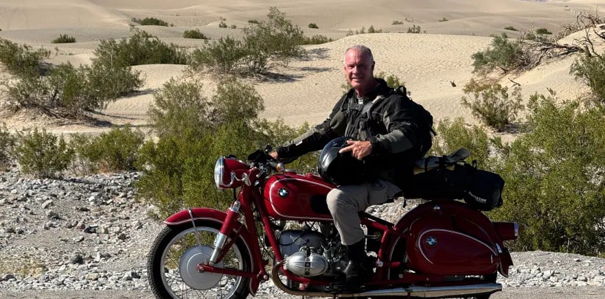
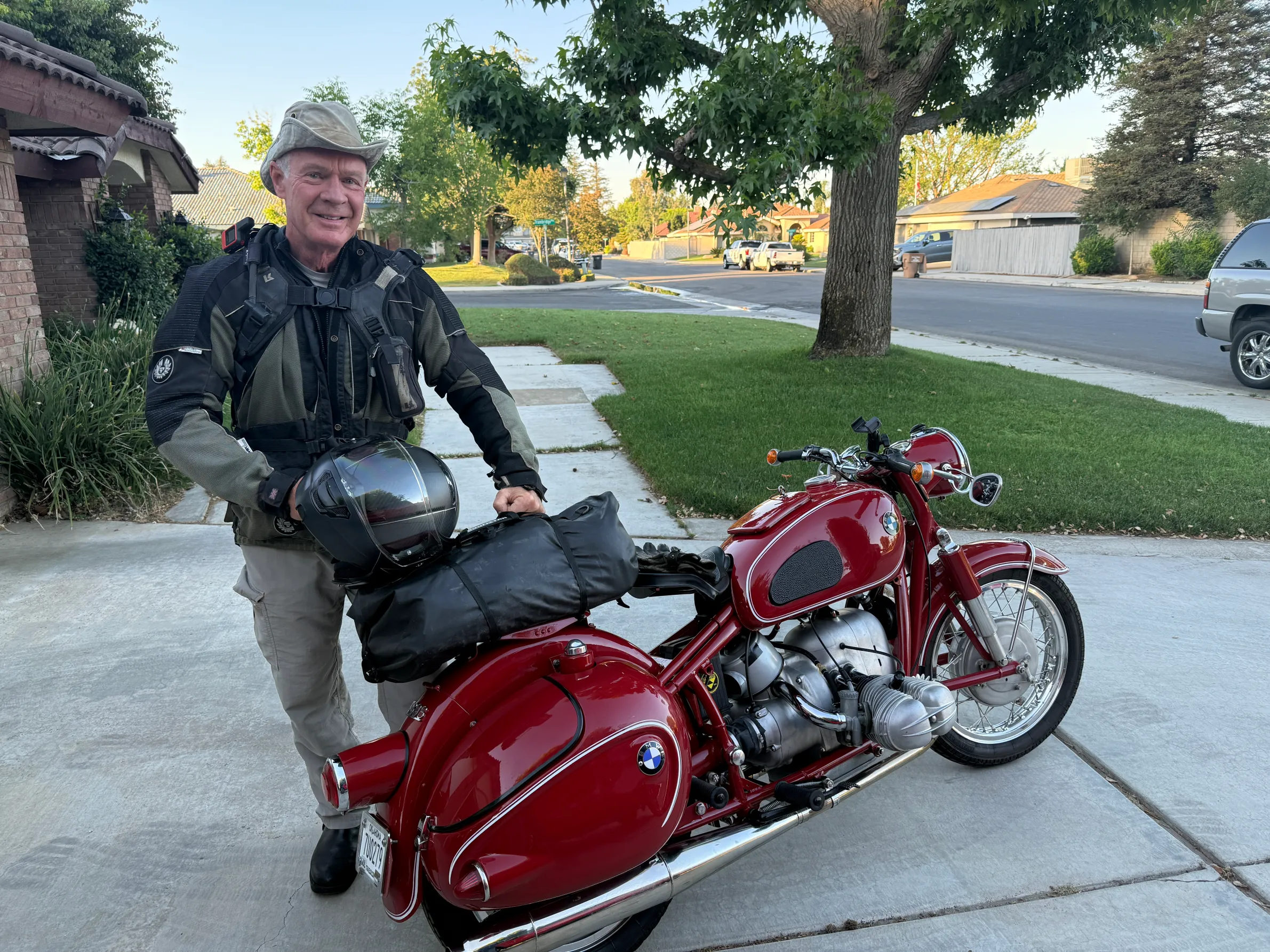
Bill Dragoo
Bill is also the founder of Dragoo Adventure Rider Training (D.A.R.T.), helping hundreds of aspiring adventure riders to fulfill their dreams through acquisition of greater skills and confidence. In 2010, Bill represented the United States on BMW Motorrad’s Team USA where he competed for the coveted International GS Trophy adventure riding competition in South Africa. He is also a certified Motorcycle Safety Instructor among his dozens of riding, skydiving and flying accomplishments.
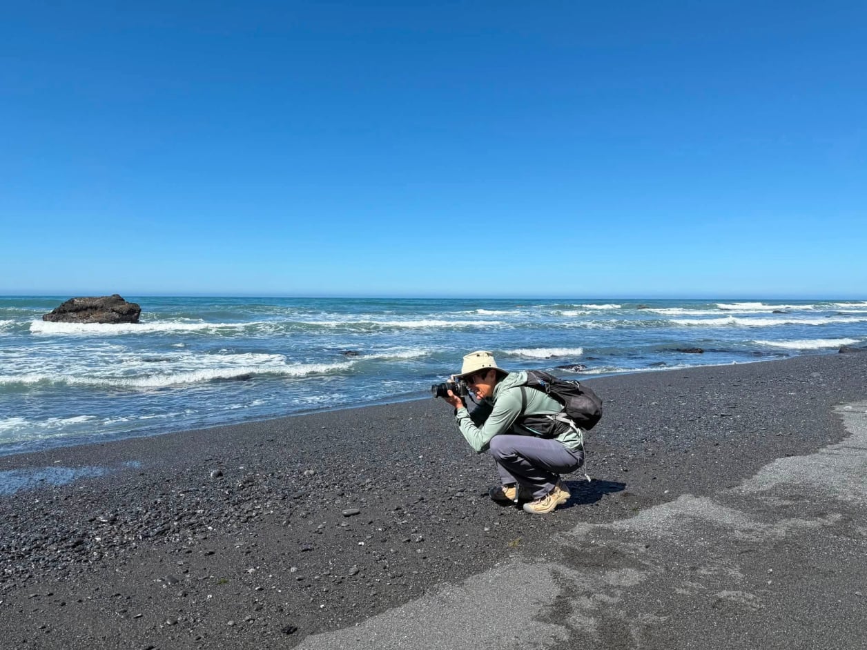
Susan Dragoo
Susan is an accomplished writer, photographer, hiker, runner and adventure traveler in her own right, recently publishing her first book, “Finding the Butterfield: A Journey Through Time in Indian Territory.”