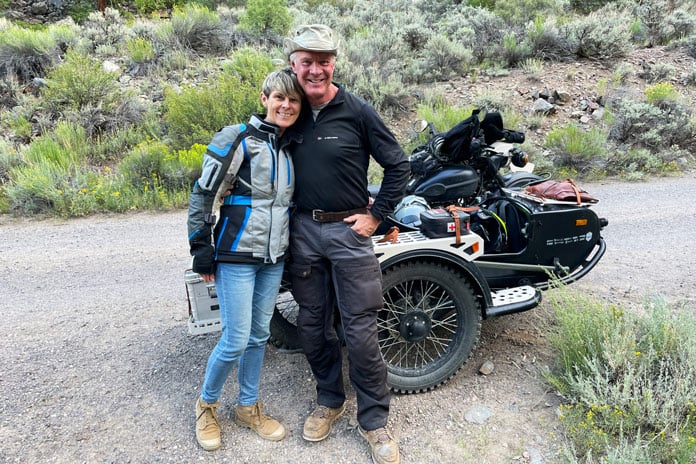
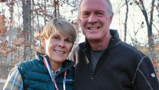
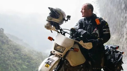
Bill and Susan Dragoo are accomplished motojournalists and adventure travelers, with two decades of writing and exploring the world on two wheels and four. Bill and Susan have embraced backcountry travel in their purpose-built Gen V 4 Runner and their 1976 Toyota FJ 40 Land Cruiser. They enjoy overlapping their interests into a delightful stew of exploration and activities together, sharing these experiences with their readers.
See their websites for more: billdragoo.com and susandragoo.com.
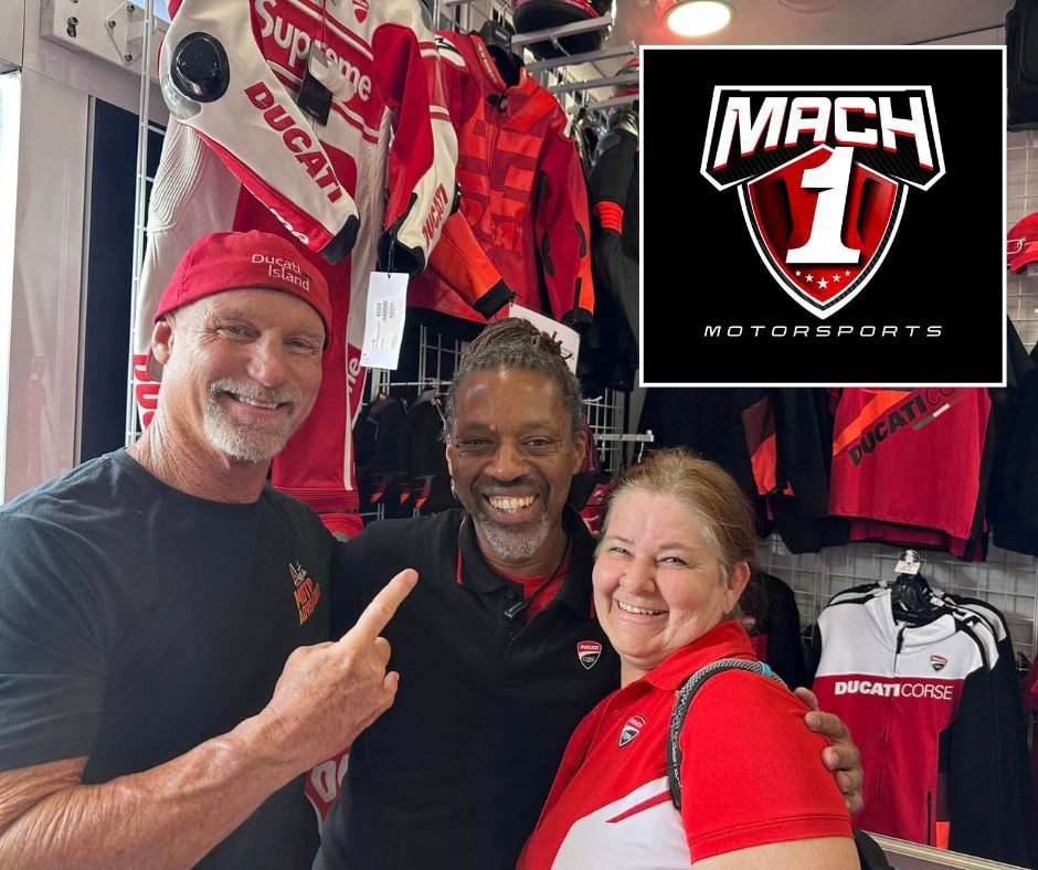
We’re excited to announce that KC and Courtnye of Mach1 Moto will be featured speakers at STAR 2026 in Springdale, Arkansas! As the dynamic team behind the rapidly growing Mach1 Moto dealership — representing Indian and Triumph, and soon expanding to include BMW and Ducati — KC and Courtnye bring a fresh perspective to the evolving motorcycle scene in Northwest Arkansas. Their passion for riding and commitment to building a strong, inclusive community make them the perfect addition to our seminar lineup. Don’t miss their session on Tuesday evening, October 20th, at 7:00 PM, where they’ll share their journey, insights, and vision for the future of motorcycling in our region.
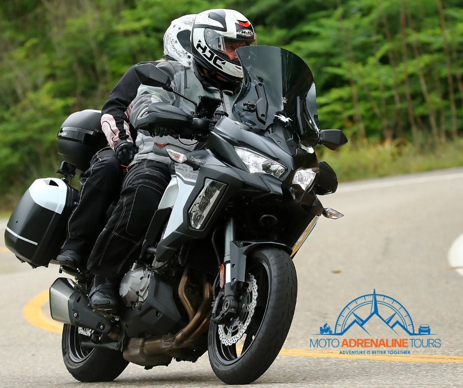
We’re thrilled to announce that Jerry & Jamie James, owners of Moto Adrenaline Tours, will be one of the featured speakers at STAR 2026 in Springdale, Arkansas! As an experienced rider, tour organizer, and long-time MSTA member, Jerry has led countless two- and four-wheel adventures across the Ozarks and beyond. His seminar, “Start to Finish: How to Create the PERFECT Ride,” will take place on Tuesday evening, October 20th, at 8PM and will walk attendees through the process of planning a ride that’s both exciting and stress-free, from choosing the right routes and lodging to adding those special touches that make a trip truly unforgettable. Whether you’re organizing your first group ride or planning your next big tour, this session is sure to inspire and inform.
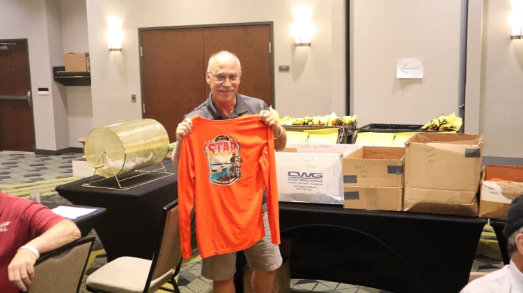
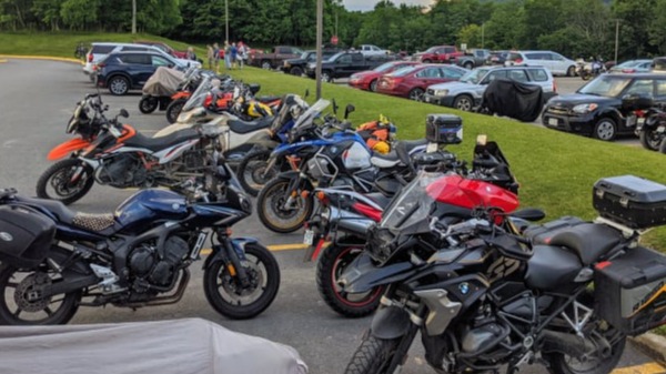
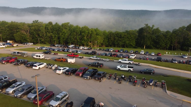
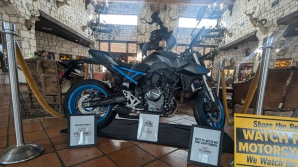
Make sure to buy lot's of tickets. The Raffle will be determined soon. Remember you have to be a member of the MSTA to win the bike. You can join here, or ask at the registration desk during the week.
Bill and Susan Dragoo are accomplished motojournalists and adventure travelers, with two decades of writing and exploring the world on two wheels and four.
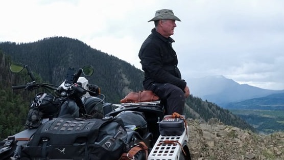
Bill is also the founder of Dragoo Adventure Rider Training (D.A.R.T.), helping hundreds of aspiring adventure riders to fulfill their dreams through acquisition of greater skills and confidence. In 2010, Bill represented the United States on BMW Motorrad’s Team USA where he competed for the coveted International GS Trophy adventure riding competition in South Africa. He is also a certified Motorcycle Safety Instructor among his dozens of riding, skydiving and flying accomplishments.
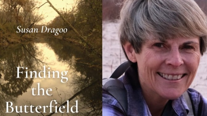
Susan is an accomplished writer, photographer, hiker, runner and adventure traveler in her own right, recently publishing her first book, “Finding the Butterfield: A Journey Through Time in Indian Territory.” In addition to their motorcycle travels, Bill and Susan have embraced backcountry travel in their purpose-built Gen V 4 Runner and their 1976 Toyota FJ 40 Land Cruiser.
They enjoy overlapping their interests into a delightful stew of exploration and activities together, sharing these experiences with their readers.
See their websites for more: billdragoo.com and susandragoo.com.
Follow them on social media at @dragooadventures and @susandragoo.

Drag and Drop Website Builder